
Clarification issued after Indian diplomat points out the error
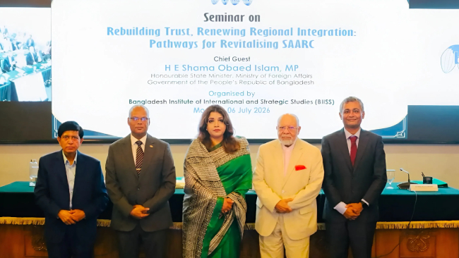
Dhaka (Bangladesh) – An incorrect map of India was displayed at a programme organised in Dhaka. The map showed Jammu and Kashmir as part of Pakistan. An Indian diplomat present at the event immediately lodged a strong objection and clarified on the spot that Jammu and Kashmir is an integral part of India.
The conference was organised by the Bangladesh Institute of International and Strategic Studies. Ms Pooja Kumari Jha, Second Secretary at the High Commission of India, was among those present. During the event, former Bangladeshi diplomat Tariq A. Karim displayed the map depicting Jammu and Kashmir as part of Pakistan. Ms Jha immediately objected, stating, “The map displayed here is incorrect. It shows Jammu and Kashmir as part of Pakistan, whereas Jammu and Kashmir is an integral part of India. The map displayed here is completely wrong.”
Bangladesh clarifies: The map was only symbolic
Following the strong objection raised by the Indian diplomat, Tariq A. Karim clarified that the map had been used only for symbolic purposes and that the boundaries shown were not intended to represent actual international borders.
 Action underway against more than 500 foreign social media accounts linked to the CJP agitation ! : Maharashtra Cyber Police
 Jihadist Abdul Ballout eliminated by police within 24 hours !
 Muslims attack Hindus in Nepal; one Hindu youth killed in police firing
 Cockroach Janata Party celebrates with a banquet, dance and music at a five-star hotel !
 A jihadi drives a van into LGBTQ community parade in Germany: 1 killed, 16 injured
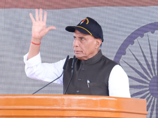 India is manufacturing semiconductors, while Pakistan is producing suicide terrorists: Rajnath Singh