 India writes to WHO for clarification : Possibility of China’s involvement
Government of India must aggressively ask WHO about its anti-India stance !
New Delhi – A colour-coded map of India released by the World Health Organisation (WHO) depicts the Union Territories of J&K and Ladakh as separate from India. This map, published on the WHO website, depicts India in deep blue colour while Jammu & Kashmir, Ladakh are in grey. The map was released by the WHO to show the global Covid19 pandemic numbers and casualties.
In its defence, the WHO has claimed that it follows the United Nation guidelines and practices regarding maps. (For publishing such erroneous maps, UN should be censured by India and get the maps rectified. – Editor)
Pankaj, an Indian settled in London, noticed this first. He said, “I know China gives huge amounts of funding to WHO. My feeling is that China is behind this as the influence of China on WHO is very high”.
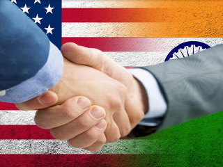 Porous Borders, Shadow Operatives: Unpacking the Geopolitical Rift in the US-India Intelligence Relations
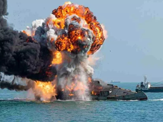 Iran attacks oil tankers in the Strait of Hormuz; Indian national killed
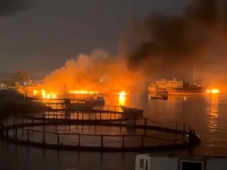 US attacks Iran’s Chabahar Port
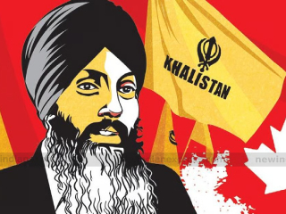 Indian officials had no role whatsoever in the killing of Khalistani terrorist Nijjar
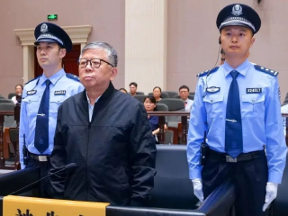 Former Chinese official sentenced to death for accepting ₹3,000 crore in bribes over 30 years
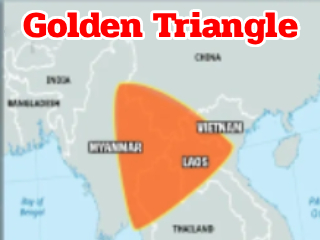 800 Indians held hostage in the ‘Golden Triangle’; 25 young men from Maharashtra among them