Possibility of China’s involvement
It is expected that government of India aggressively questions WHO on its anti-India stand

New Delhi: A colour coded map of India released by the WHO has shown the union territories of J&K and Ladakh as separate from India. This map, published on the WHO website depicts India in deep blue colour while Jammu & Kashmir, Ladakh are in grey. The map was released by the WHO to show the global Covid19 pandemic numbers and casualties.

In its defence, the WHO has claimed that it follows the United Nation guidelines and practices regarding maps. (If the UN has published such erroneous maps, then India should censure the UN and ensure that the maps are rectified.)
WHO distorts Indian map, separates Ladakh, Jammu and Kashmir, from rest of the country https://t.co/Q48p1W3T2w
— OpIndia.com (@OpIndia_com) January 10, 2021
Pankaj, an Indian settled in London noticed this first. He ‘I know China gives huge amounts of funding to WHO. My feeling is that China is behind this as the influence of China on WHO is very high.’
(Courtesy: Republic World)
 Pakistani Army opens fire on protesters in Pakistan-occupied Kashmir: 12 killed, 38 injured
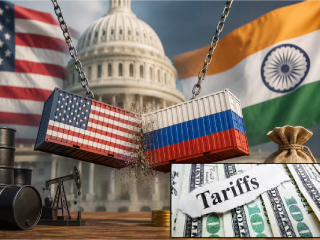 US to impose 100% tariffs on five countries, including India, for purchasing Russian oil !
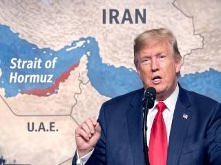 Trump withdraws 20% levy on vessels passing through the Strait of Hormuz
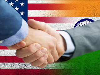 Porous Borders, Shadow Operatives: Unpacking the Geopolitical Rift in the US-India Intelligence Relations
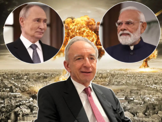 Prime Minister Modi had prevented Putin from dropping an nuclear bomb on Ukraine in 2022 !
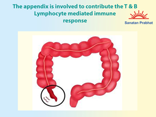 Amaja shula, Diet useful in Amaja shula, Diet beneficial in abdominal pain, Spiritual therapy & What is appendicitis.