
Bengaluru (Karnataka) – ISRO scientists have prepared a map of submerged Ram Setu, with the help of NASA’s ICESat-2. It is said to be the first comprehensive map. Ram Setu is also known as Adam’s Bridge. The research done by the ISRO scientists on Ram Setu has been published in a scientific journal called ‘Scientific Reports’. Scientists from ISRO’s National Remote Sensing Centre in Jodhpur and Hyderabad have created this map.
The scientists informed, “We have used NASA’s ICESat-2, ‘Water Penetrate Photon’ to create the first comprehensive map of Ram Setu. 99.98% part of Ram Setu got submerged under extremely shallow water, which makes it difficult to use a boat or physically going under water for survey. The project was led by Giribabu Dandabathula.
Scientists have used the data from 2018 to 2023 and created a map of 10 m resolution of the entire length of the submerged Ram Setu. According to this map, the height of the 29-km-long Ram Setu is 8 m above sea level. So far, this is the largest map of this kind.
 A Jharkhand gram panchayat fines Rs 1 lakh and releases accused who sexually assaulted a 3-year-old
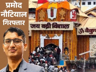 One arrested in the Badrinath Dham theft case
 Separate plans for internet data and voice calls to become mandatory
 Bus conductor asks Karnataka minister to get off the bus for not paying exact change
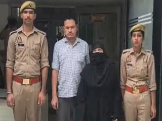 Muslim couple arrested for holding Hindu woman hostage and converting her at gunpoint
 Christian father of a Police Sub-Inspector who was converting Hindus arrested !